

Pick the town first. The house comes second.
Every town on the Bay lives differently — the school run, the hospital, the plow route, the winter wind. These guides cover what buyers actually ask Bob about, with live MLS inventory for each community.
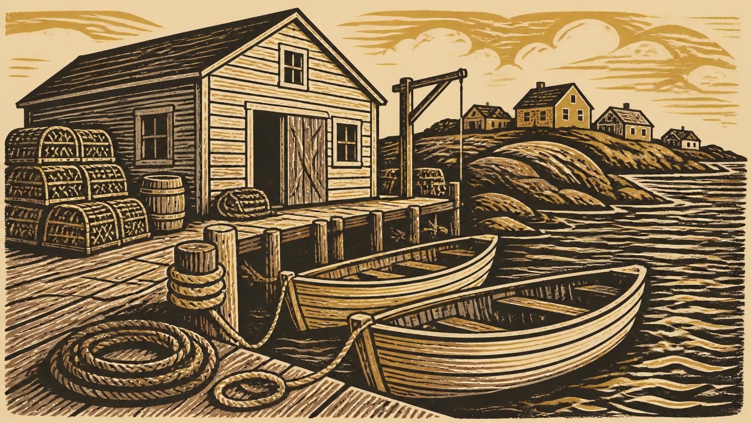
Six communities, one bay, six very different ways to live on it.
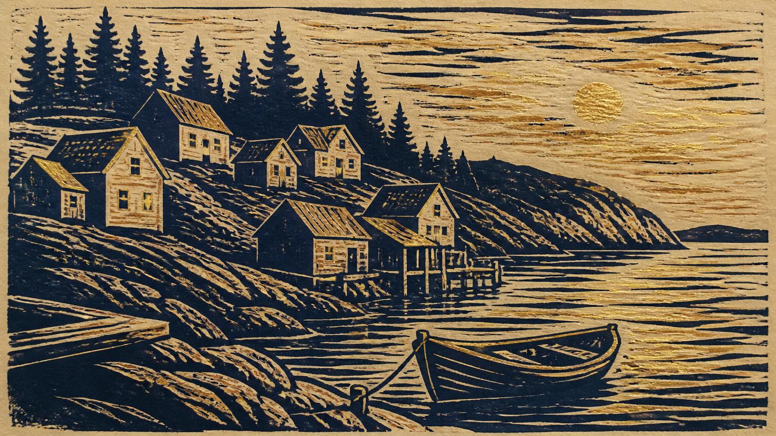
Bay Roberts
The service hub of Conception Bay North — full retail, walkable downtown, tightest inventory on the Bay.
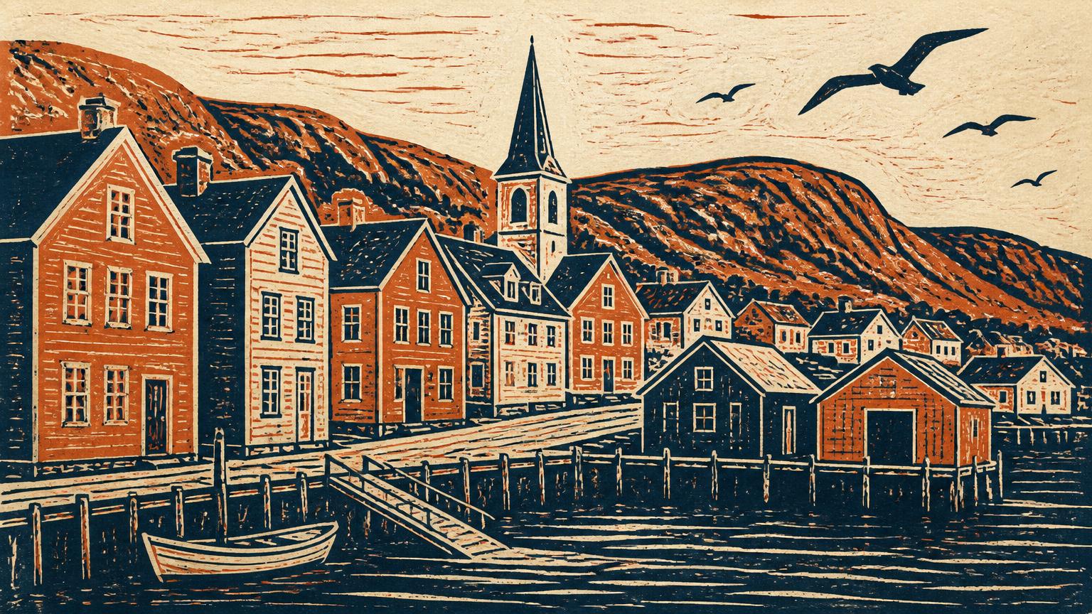
Carbonear
Regional hospital, heritage main street, and 400 years of history above a working harbour.
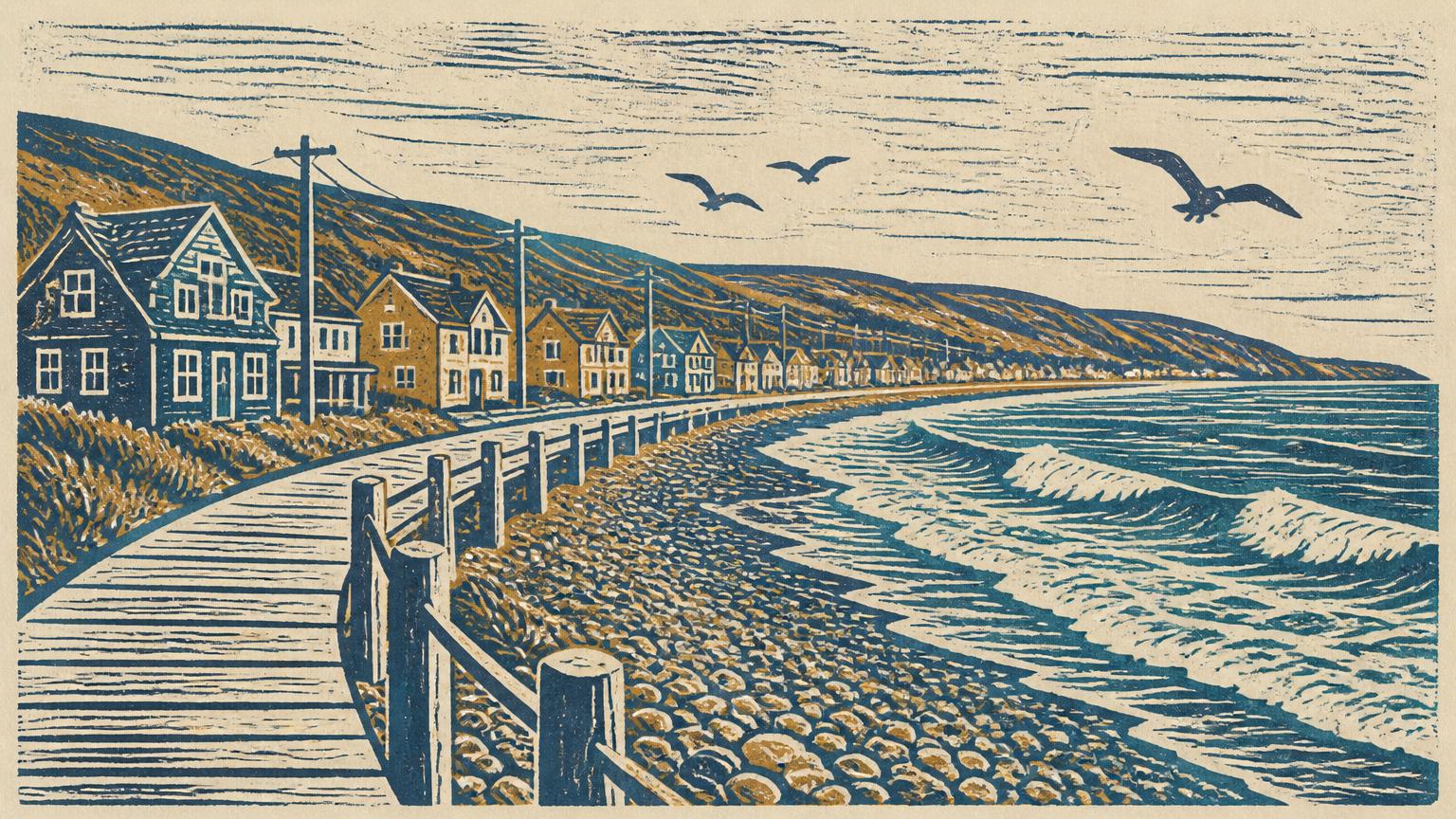
Conception Bay South
Closest to St. John's. Subdivisions, schools and the shortest commute on the Bay.
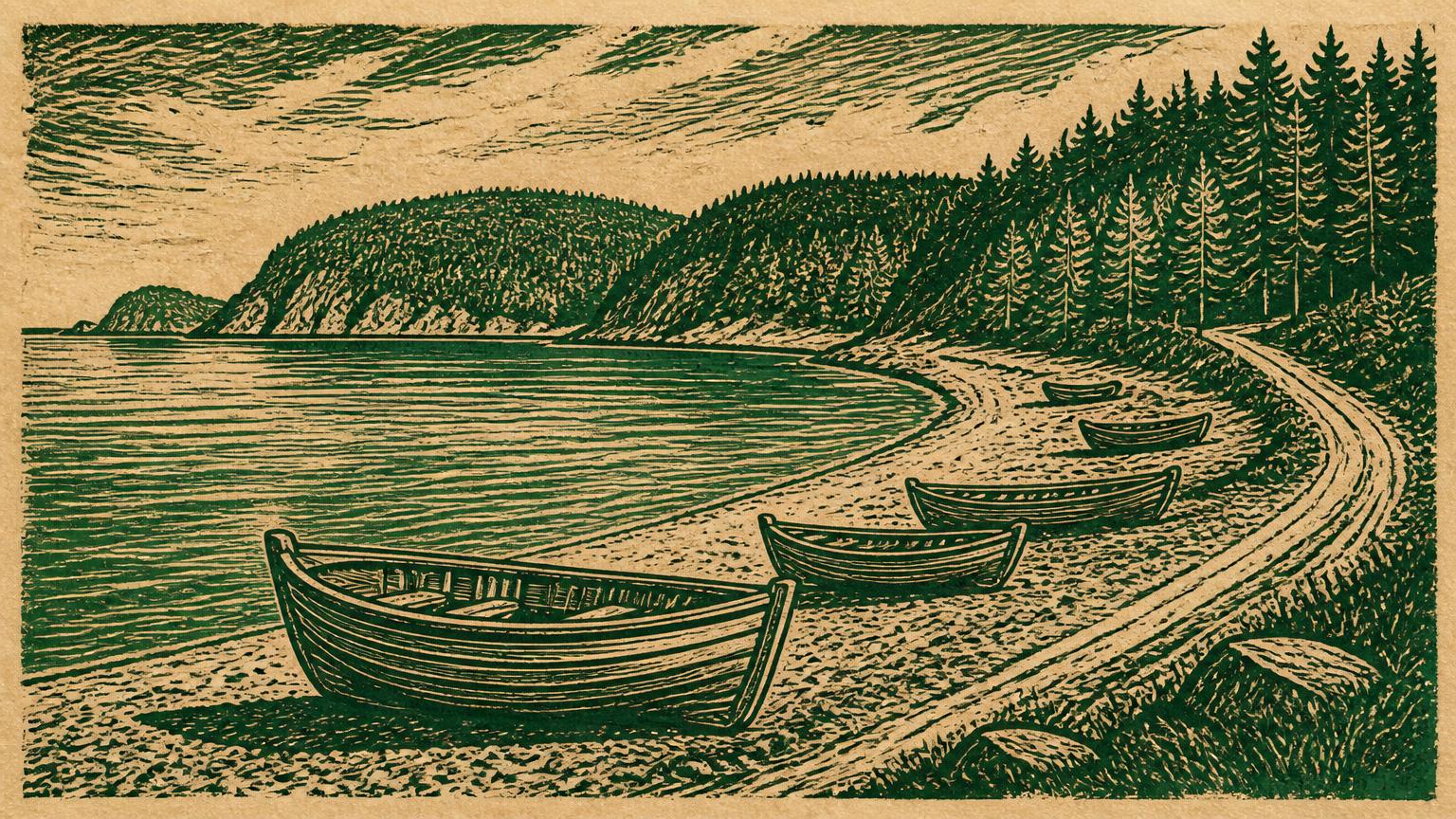
Holyrood
Marina town at the bottom of the Bay — boating, the Salmonier line, and quick highway access.
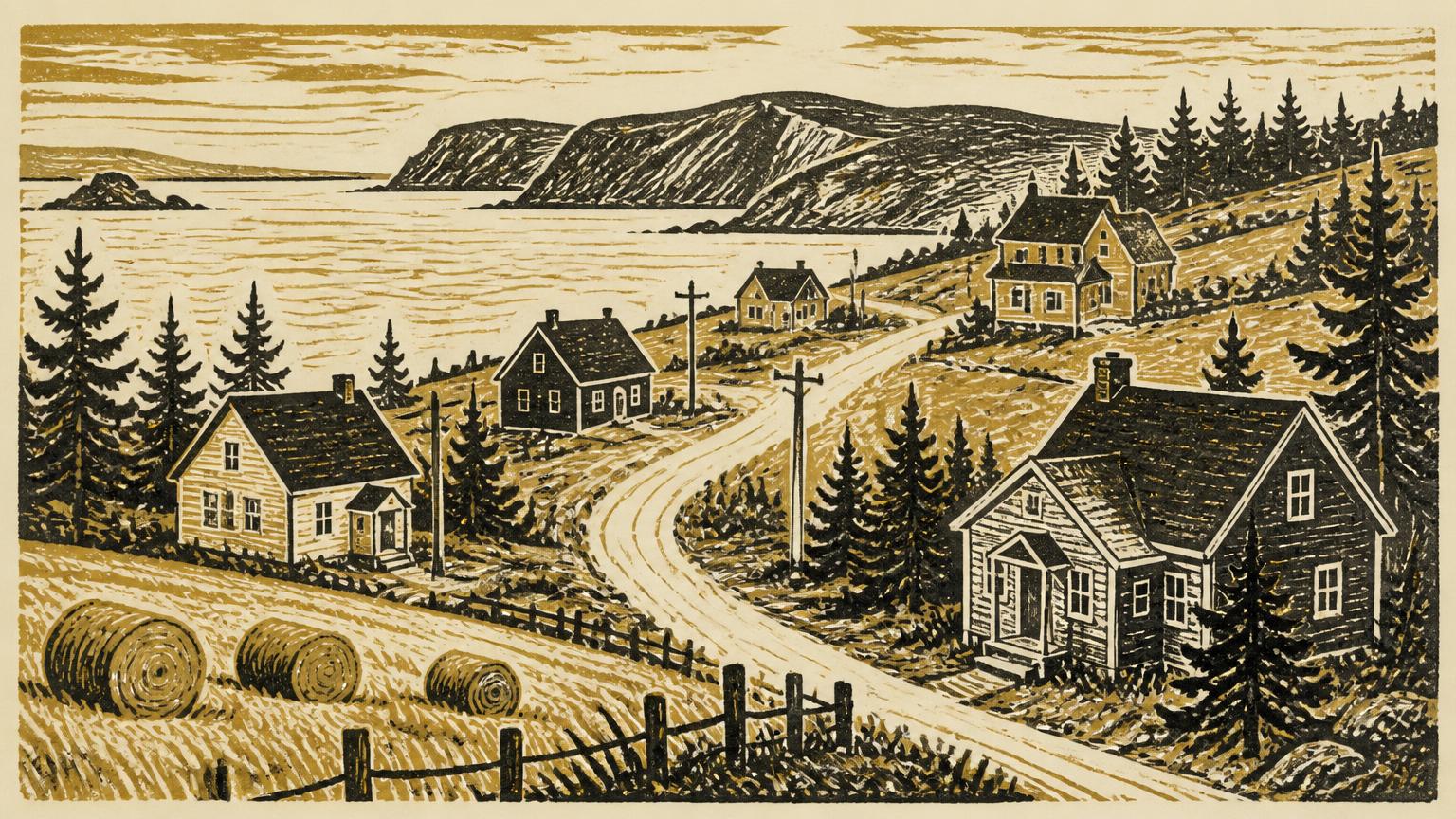
Spaniard's Bay
Bigger lots and quieter roads on the Baccalieu Trail, minutes from Bay Roberts amenities.
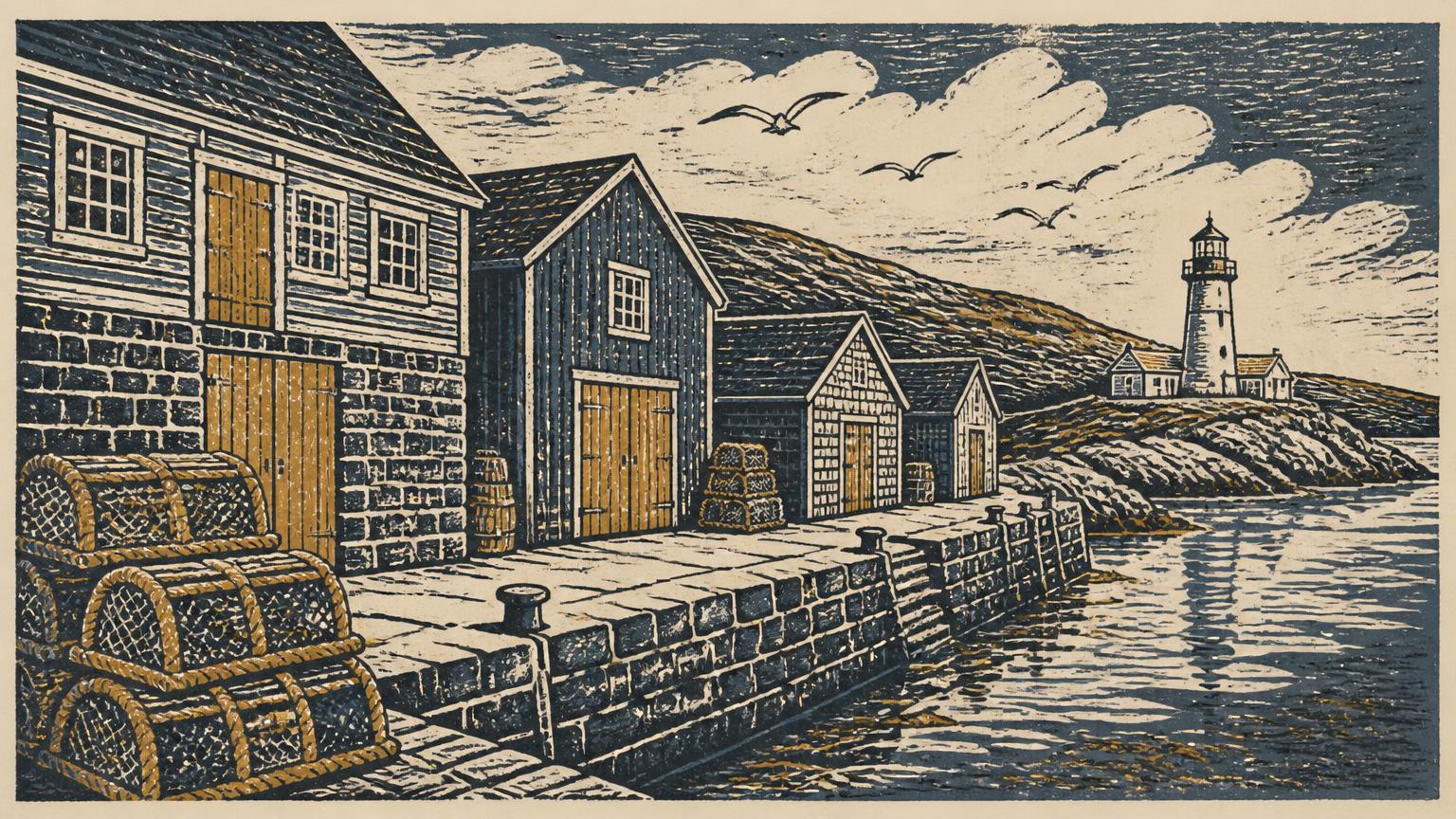
Harbour Grace
Founded in 1517. The best value per square foot in Conception Bay North.
Winter & Coastal Reality Check
Every listing photo is a July afternoon. This is January: which roads get cleared first, how much salt and wind a shoreline lot actually takes, what it costs to heat, and how the old houses hold up.
Bay Roberts
6/10- Snow clearing · Priority 1 (Route 70) + municipal secondary
- Route 70 — the Baccalieu Trail — is cleared first, before the morning hospital and school shifts. Side streets off Water Street and the Shearstown side are municipal and typically follow 2–4 hours later.
- Wind & salt exposure
- The downtown bowl is sheltered. Properties out toward the Bay Roberts point and Feather Point take the full nor'easter and carry visible salt spray on windward glass.
- Heating
- Size a cold-climate heat pump on the whole heated floor area, not the rated maximum, and expect a wood or electric backup for the two or three coldest weeks.
- Durability
- Original post-and-beam saltboxes in the older core handle freeze-thaw well; the weak points are sills, chimney flashing and any 1970s addition tacked onto the back.
Carbonear
5/10- Snow clearing · Priority 1 (hospital corridor)
- The route into the regional hospital is among the earliest cleared in Conception Bay North. Heritage streets above the harbour are narrow and get windrowed — driveway clearing usually needs a second pass.
- Wind & salt exposure
- The harbour basin and the streets stepping up from it are well sheltered. Exposure climbs quickly on the ridge above town.
- Heating
- Many heritage homes still run oil. Budget a heat-pump conversion plus attic and rim-joist air sealing before adding capacity.
- Durability
- 400-year-old town — expect stone foundations, some rubble walls and drainage that pre-dates modern grading. Always check where water goes in April.
Conception Bay South
4/10- Snow clearing · Priority 1 (Conception Bay Highway / TCH links)
- The best-served winter roads on the Bay because of commuter volume into St. John's. Newer subdivisions are municipal and are cleared on a rotation.
- Wind & salt exposure
- Mostly inland-facing slope with the bay to the north. Shoreline lots along the Conception Bay Highway see spray in a hard onshore blow.
- Heating
- Newer builds are well insulated — a single properly sized heat pump usually carries the house with electric baseboard as backup.
- Durability
- Mostly post-1980 construction. Check for ice damming on low-slope additions and sump performance on the lower-lying subdivisions.
Holyrood
6/10- Snow clearing · Priority 1 (Route 60 / TCH access) + municipal hills
- Highway access clears early for the commute. The steep municipal streets above the marina are the ones to ask about — grade plus drifting makes them the last to feel normal.
- Wind & salt exposure
- The bottom of the bay is sheltered; the hillside above it funnels wind. Ask which side of the hill a listing sits on.
- Heating
- Hillside homes lose more to wind-washing — insulation and window quality matter more here than raw heat-pump size.
- Durability
- Mixed vintages. Retaining walls and driveway drainage are the recurring expense on the sloped lots.
Spaniard's Bay
5/10- Snow clearing · Priority 1 (Route 70) + rural municipal
- Route 70 through the community is provincial and cleared early; the rural lanes and Tilton side are municipal and slower after a heavy drift event.
- Wind & salt exposure
- Largely set back from open water, so salt load is moderate. Open fields make drifting the bigger winter issue, not spray.
- Heating
- Wood stoves are still common and worth keeping — they cover the outage days, which do happen on rural feeders.
- Durability
- Plenty of solid 1960s–90s stock on generous lots. Check well and septic records, not just the house.
Harbour Grace
7/10- Snow clearing · Priority 1 (Route 70) + municipal water street
- The Baccalieu Trail through town is cleared before the morning hospital shifts in Carbonear. Water Street and the lanes climbing off it are municipal and narrow.
- Wind & salt exposure
- One of the more exposed harbours on the Bay. Mad Rock and the outer shore take direct Atlantic weather; anything tucked behind the island is meaningfully calmer.
- Heating
- In steady coastal wind, an undersized heat pump runs flat out and still loses ground — size it up and seal the envelope first.
- Durability
- Rich heritage stock, including true post-and-beam. Well-maintained ones outlast newer builds; poorly drained ones rot at the sill. Inspection is non-negotiable.
Bob's own read of local conditions · Route 70 clearing is provincial, side streets are municipal · Ask him about a specific address
Iceberg watch, tides and road conditions
- Loading tides…
Estimated from the lunar cycle for Conception Bay North — good for planning a walk, not for navigation.
- Harbour Grace IslandLate April – mid June
Grounded bergs and growlers park on the shoal off the island; best viewing from Water Street.
47.705° N, 53.213° W
- Mad Rock, Bay RobertsLate June – early August
Humpbacks and minke follow the capelin right in against the cliff. Peak is the first two weeks of July.
47.601° N, 53.226° W
- Bay Roberts point / Feather PointMay – July
Bergs drifting south down the bay, plus gannet and puffin traffic on the headland.
47.588° N, 53.245° W
- Carbonear harbour mouthMay – June
Pack ice pushes in on a north wind; whales work the harbour mouth once the capelin land.
47.735° N, 53.216° W
Seasonal windows from local reports — not a live satellite feed
Century Streetscapes
Drag the handle to peel today's coastline back a century. Honouring Conception Bay's heritage — in 2019, Bob Crocker donated over 30,000 historic Newfoundland photographs to The Rooms provincial collection to preserve our coastal story.


1919 — Harbour Grace, when the world's first transatlantic flight attempts staged out of the field above the harbour.
Today — bergs drifting down Conception Bay past the same shoreline.
Then: Public domain via Wikimedia Commons · Now: Wikimedia Commons
.jpg?width=1400)

c. 1900 — the salt fish economy that built every wharf and saltbox on Conception Bay.
Today — the Bay Roberts shoreline, the same water, a different living.
Then: Public domain via Wikimedia Commons · Now: Wikimedia Commons


1825 — the Admiralty survey of Harbour Grace and the Carbonear approaches, soundings taken under sail.
Today — Carbonear above its working harbour.
Then: Public domain via Wikimedia Commons · Now: Wikimedia Commons